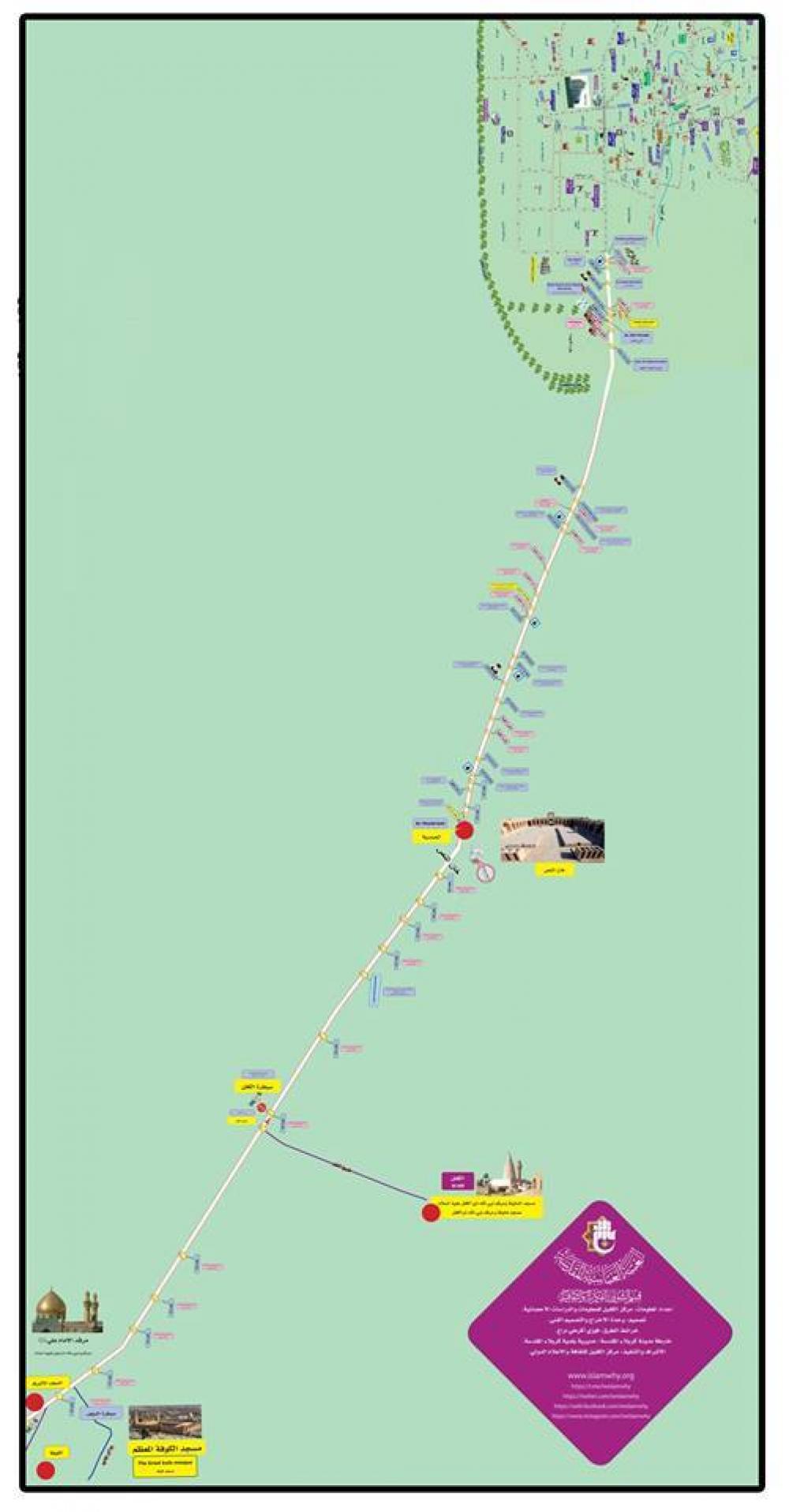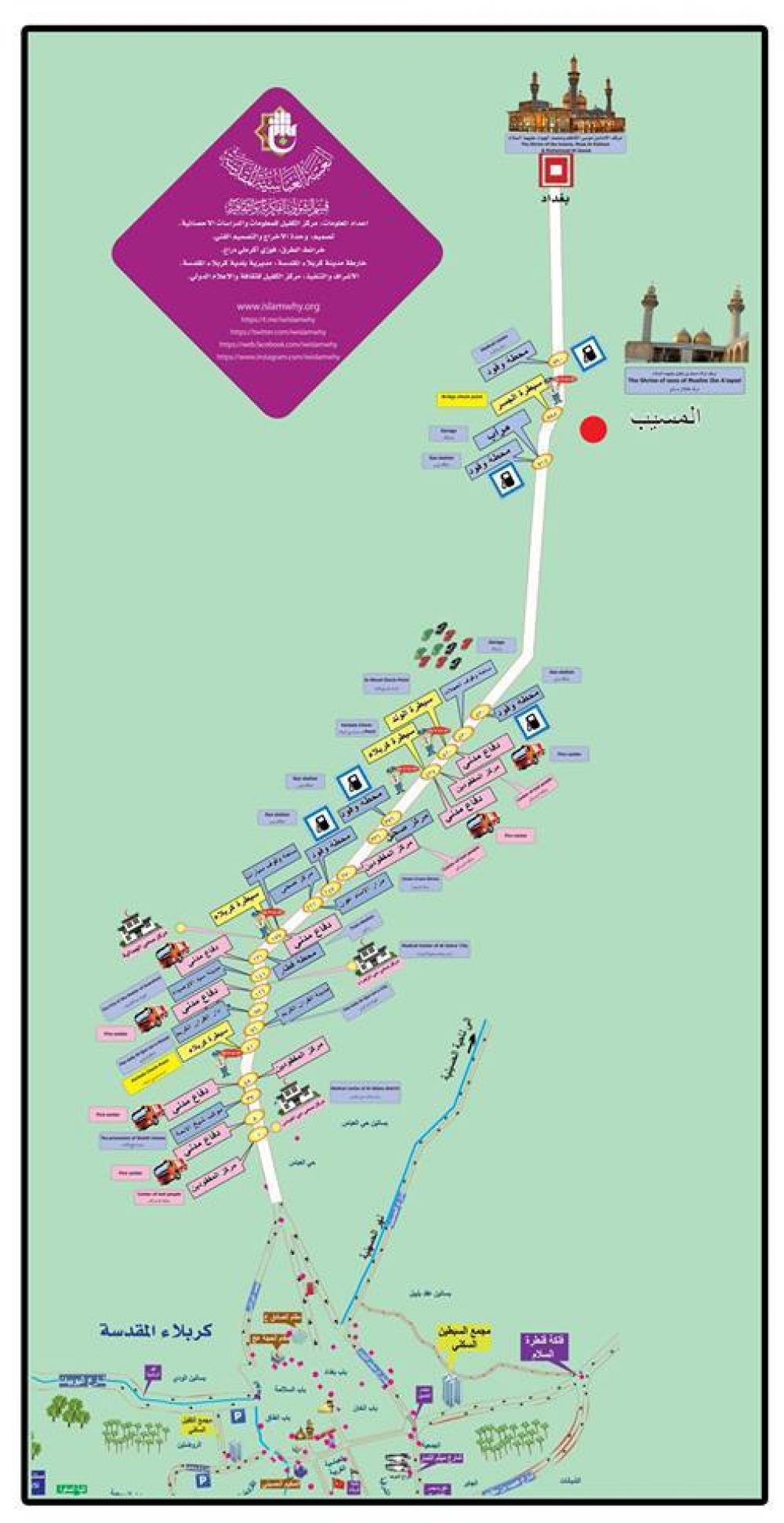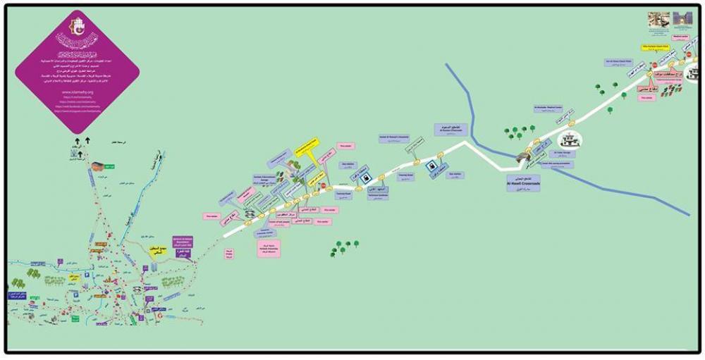
The director of the Center; Mr. Jassam Mohamad al-Sa'idi stated: "The work in collecting the information to make these maps from the state department in those provinces, then drawing them, and ensure their comformity to reality with a field trip to those cities, took nearly two months."
Adding: "Dozens of these maps were printed in two sizes 6 x 3 and 3 x 1.5 m, ad each road has its own map. The small size were hung in the centers of guiding the missing persons on that road, by the staff of the Communications Division in the Department of Engineering Projects. A sign is drawn on each map to guide the visitor on the place where he is standing, in four languages (Arabic, Urdu, Persian and English. The large size was hung on the main service complexes."